


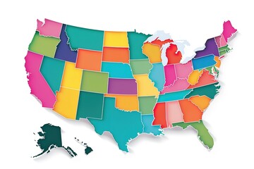


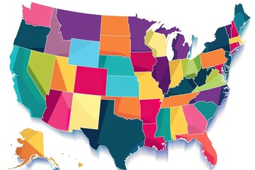


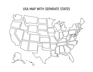
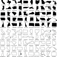


us state
Wall muralmap outline america
Wall muralgeography vector border
Wall muraltravel isolated silhouette
Wall muralgraphic country shape
Wall muraldesign contour american
Wall muralsymbol united land
Wall muralearth white line
Wall muralus
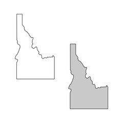
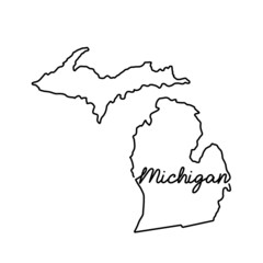
Wall muralstate
Wall muralmap
Wall muraloutline
Wall muralamerica
Wall muralgeography
Wall muralvector
Wall muralborder
Wall muraltravel
Wall muralisolated
Wall muralsilhouette
Wall muralgraphic
Wall muralcountry
Wall muralshape
Wall muraldesign
Wall muralcontour
Wall muralamerican
Wall muralsymbol
Wall muralunited
Wall muralland
Wall muralearth
Wall muralwhite
Wall muralline
Wall muralnation
Wall muralblack
Wall mural