


us map
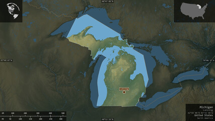
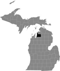
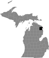
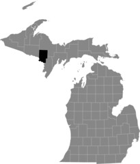
Wall muraldistrict outline michigan
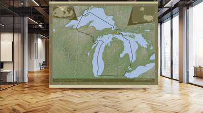
Wall muralstate cartography city
Wall muralgeography illustration symbol
Wall muralbackground isolated contour
Wall muralsilhouette black county
Wall muraldrawing line town
Wall muralwhite location region
Wall muralus
Wall muralmap
Wall muraldistrict
Wall muraloutline
Wall muralmichigan
Wall muralstate
Wall muralcartography
Wall muralcity
Wall muralgeography
Wall muralillustration
Wall muralsymbol
Wall muralbackground
Wall muralisolated
Wall muralcontour
Wall muralsilhouette
Wall muralblack
Wall muralcounty
Wall muraldrawing
Wall muralline
Wall muraltown
Wall muralwhite
Wall murallocation
Wall muralregion
Wall muralabstract
Wall muraladministrative
Wall mural


-map-vector-illustration,-scribble-sketch-map:400:3:uQ2EN566kgxF3wPW9QqDKxh0eZPLbyeZ:609020826:as1.jpg)