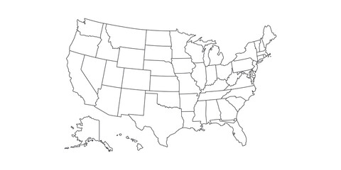


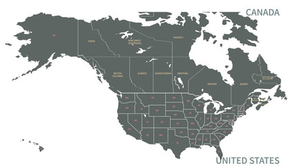


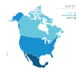


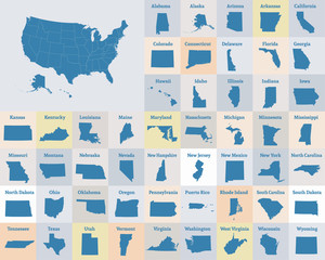


us america
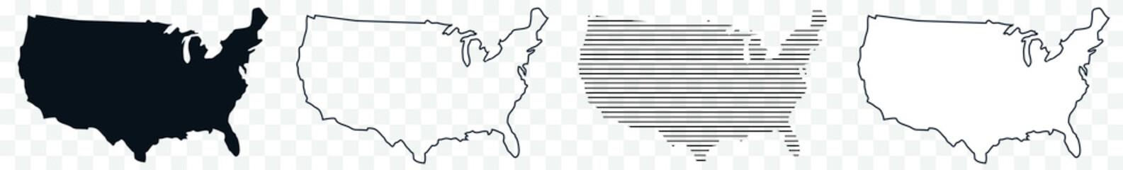
Wall muralmap outline country
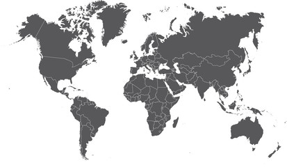
Wall muralearth illustration vector
Wall muraltravel border isolated
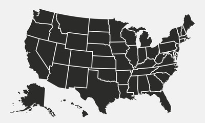
Wall muralgraphic background white
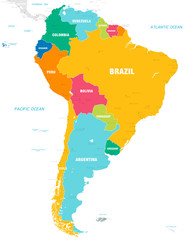
Wall muralcontinent design north
Wall muralamerican icon united
Wall muralsymbol contour abstract
Wall muralus
Wall muralamerica
Wall muralmap
Wall muraloutline
Wall muralcountry
Wall muralearth
Wall muralillustration
Wall muralvector
Wall muraltravel
Wall muralborder
Wall muralisolated
Wall muralgraphic
Wall muralbackground
Wall muralwhite
Wall muralcontinent
Wall muraldesign
Wall muralnorth
Wall muralamerican
Wall muralicon
Wall muralunited
Wall muralsymbol
Wall muralcontour
Wall muralabstract
Wall muralshape
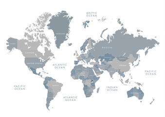
Wall muralatlas
Wall mural