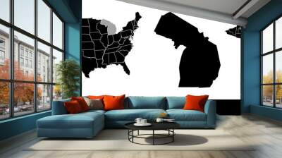
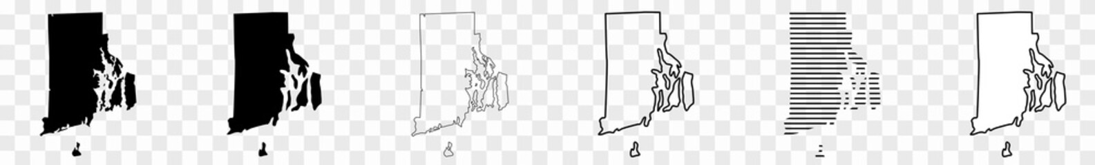
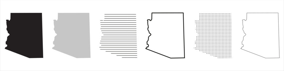
WallsHeaven makes decorative wall murals in high quality printing

155,163 Map+outline+america Wall Murals - Canvas Prints - Stickers

Canada map outline
Canada map outline
Florida State map in gray on a black background 3d
Michigan state map, USA. Set of Michigan maps with outline border, counties and US states map. Black and white color.
map of Mexico
map of Mexico
Rhode Island Map Black | State Border | United States | US America | Transparent Isolated | Variations
Hex USA Map Vector Isolated on Light Background. Hexagonal Halftone United States of America Wallpaper
Arizona State Map Black. Arizona map silhouette isolated on transparent background. Vector Illustration. Variants.
The world map of black contour curves of vector illustration
North America map with countries and states
The Kentucky State county map with labels
World map with square dot. Black dotted squares world map isolated on white background. Pixels silhouette worldmap. Simple flat wallpaper. Planet halftone pattern for design print. Vector illustration
Red silhouette of the USA east coast, isolated on white background
Australia map outline view from space, globe planet earth, red glow color, elements of this image courtesy of NASA
Black map state Massachusetts - vector illustration.
Highly detailed physical map of the US state of Arizona
Massachusetts state highlighted in blue on 3D map of the United States
Hand drawn world map
California (USA) outline map with shadow.
World map outline. Thin country borders and thick land contour on white background. Simple high detail line vector wireframe.
Brazil map of provinces, political maps of brazil south america - Vector File
Lake Erie (Canada, United States, North America, us, Great Lakes) map vector illustration, scribble sketch map
San Diego California. US street map with black and white lines.
vector map flag of Barbados isolated on white background
North Carolina-US-States-VectorMap-A
Hawaii Map Black | State Border | United States | US America | Transparent Isolated | Variations
United states of America state Indiana USA map
USA map with state borders and capitals. Correct shapes and state boundaries.
Map of Chicago
Map of Chicago
The South Carolina isolated map and its counties
World map centre Asia
High detailed vector map - Central America.
3D Earth Illustration focused on the United States, Canada and Mexico
Nevada outline state of USA. Map in black and white color options. Vector Illustration..
indiana road map
indiana road map
North America countries border map.
vector map of U.S. and Canada, Mexico.
North America countries border map. vector map of U.S. and Canada, Mexico.
United States of America outline map, stroke with states bounds. Line style. Stock Vector illustration isolated on white background.
Venezuella map outline with stars and lines abstract framework. Communication, connection concept.
World map. High detailed political map of World with country, capital, ocean and sea names labeling
Octagons Flat Map World Background
Blank similar USA map isolated on white background. United States of America usa country. Vector template usa for website, design, cover, infographics. Graph illustration.
World map hand drawn chalk. Sketch on a blackboard.
Highly detailed world map with labeling. Blue-gray vector illustration..
U.S. states - map of Minnesota. Please look at my other images of cartographic series - they are all very detailed and carefully drawn by hand WITH RIVERS AND LAKES.
World outline map vector, isolated on white background. Black map template, flat earth.  Simplified, generalized world map with round corners.
World outline map vector, isolated on white background. Black map template, flat earth. Simplified, generalized world map with round corners.
3D geographic outline map of New York with the state flag
New Zeland is highlighted in blue on the world map
USA United States Map . 3D Render Illustration
New Hampshire black map on white background vector
The Michigan State County Map with labels
World political map 3D vector individual states separate
Relief Of USA.
Relief Of USA.
United States of America map. Poster map of USA with state names. American background. Vector illustration
Idaho Map Black | State Border | United States | US America | Transparent Isolated | Variations
arizona state outline administrative and political vector map in color
USA. Poster map of United States of America. Black and white print map of USA for t-shirt, poster or geographic theme. Hand-drawn black map. Vector Illustration
Puerto Rico map vector illustration, scribble sketch Puerto Rico
Alberta (provinces and territories of Canada) map vector illustration, scribble sketch Alberta map
Map of Canada divided into 10 provinces and 3 territories. Administrative regions of Canada. White map with black outline and black region name labels. Vector illustration
Georgia State map in gray on a black background 3d
conneticut map. vector map of conneticut, U.S. states.
Missouri US Map. MO USA State Map. Black and White Missourian State Border Boundary Line Outline Geography Territory Shape Vector Illustration EPS Clipart
map of Mississippi, USA
USA modern minimalistic map
Honduras map of polygonal mosaic lines network, rays and space stars of vector illustration.
map of the U.S. state of Wisconsin
South America map vector outline with scales of miles and kilometers in gray background
map of Delaware
map of Delaware
Canada map outline view from space, globe planet earth, red glow color, elements of this image courtesy of NASA
The Minnesota State County Map with labels
Caribbean islands Central America map state names card colors 3D vector
South America continent with contours of countries. Vector drawing
Poster map of United States of America with state names. USA cartoon travel map vector illustration of geographic themes with landmarks, cities, roadmap. Infographic concept with country navigator.
World map hand drawn chalk sketch on a blackboard
road map of the US American State of Colorado
High detailed North America road map with labeling - Black.
Vermont map on white background. Vermont State map sign. outline map of Vermont. flat style.
Jamaica map vector illustration, scribble sketch  Jamaica
Jamaica map vector illustration, scribble sketch Jamaica
Political map of South America. Vector illustration.
High detailed vector map - Minnesota.
High detailed vector map puerto Rico
Tennessee state political map
black abstract outline of world map- vector illustration
Maine state isolated on a white background, USA map
black silhouette country borders map of Trinidad and Tobago on white background of vector illustration
USA state Map and map outlines vector illustration, america map line drawings. Ideal for educational materials, travel content, graphic design projects. Detailed, accurately represented shapes
Blank political map of Central America and Mexico. Simple thin black outline vector illustration.
Alberta province administrative map
Map of Indiana
Map of Indiana
World map with country borders
World Map in Robinson Projection. Americas centered. Solid gray land silhouette. Vector illustration
Arizona counties map
Map of the United States by population
map of Kentucky
map of Kentucky
fictional map of the usa temperature barometric pressure wind speed wind direction
Simplified smooth border World map
Colorado counties map
oklahoma road map
oklahoma road map
California county maps
Blank political map of South America. Simple flat vector outline map.


Why Wallsheaven is special?

30 Days on Returns

You can return or replace any product within 30 days without reason.

Free Express Delivery

Delivery is free for all of our products, wherever you are.

Eco Water-Based Inks

Our prints are odorless, ecological, and safe for children with vivid colors from natural dyes.

Simple Installation

Installing WallsHeaven's wallpaper mural is as easy as making paper airplane.

Artist Support

By choosing our photos, you will support the artists from all over the world.