WallsHeaven makes decorative wall murals in high quality printing

7,127 Map%2Boutline%2Bamerica Wall Murals - Canvas Prints - Stickers

Landkarte: Mallorca - inkl. Infofeld & Legende Orange - II / IV
icon, line globe with arrow, two circular arrows
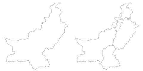
Pakistan country map sets with Jammu and Kashmir region, illustration version, pak, Pakistan maps
Nebraska administrative map, Nebraska outline and counties state map set - illustration version
Pakistan country map sets with Jammu and Kashmir region, illustration version, pak, Pakistan maps
Tennessee administrative map, Tennessee outline and counties state map set - illustration version
Pakistan country map sets without Jammu and Kashmir region, illustration version, pak, Pakistan maps
Pakistan country map sets with Jammu and Kashmir region, illustration version, pak, Pakistan maps
Pakistan country map sets without Jammu and Kashmir region, illustration version, pak, Pakistan maps
New Mexico administrative map, New Mexico outline and counties state map set - illustration version
Pakistan country map sets without Jammu and Kashmir region, illustration version, pak, Pakistan maps
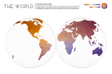
Vector map of the world. Mollweide projection interrupted into two hemispheres of the world. Purple Orange colored polygons. Stylish vector illustration.
World Map. Van der Grinten II projection. Outline style. High Detail World map for infographics, education, reports, presentations. Vector illustration.
Map of The World. Eckert II projection. Globe with latitude and longitude net. World map on meridians and parallels background. Vector illustration.
World Map. Natural Earth II projection. Countries style. High Detail World map for infographics, education, reports, presentations. Vector illustration.
World contour. Quartic authalic projection interrupted into two hemispheres. Plan world geographical map with graticlue lines. Vector illustration.
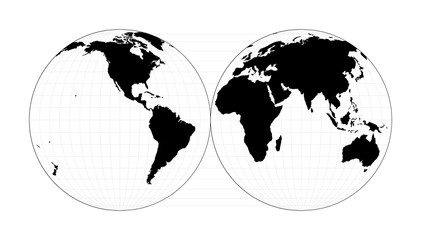
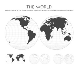
World shape. Mollweide projection interrupted into two (equal-area) hemispheres. Plan world geographical map with graticlue lines. Vector illustration.
Vector map of the world. Eckert II projection of the world. Red Shades colored polygons. Neat vector illustration.
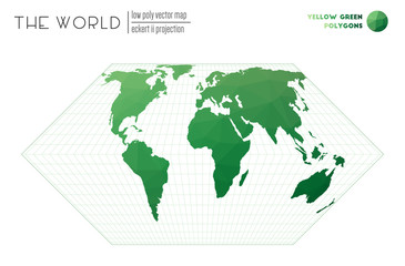
Low poly design of the world. Eckert II projection of the world. Yellow Green colored polygons. Contemporary vector illustration.
World map with vibrant triangles. Van der Grinten II projection of the world. Yellow Orange Brown colored polygons. Trending vector illustration.
Polygonal map of the world. Quartic authalic projection interrupted into two hemispheres of the world. Colorful colored polygons. Creative vector illustration.
Philippines map with pin of country capital. Two types of Philippines map with neighboring countries.
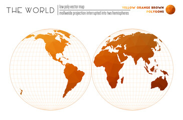
World map with vibrant triangles. Mollweide projection interrupted into two hemispheres of the world. Yellow Orange Brown colored polygons. Stylish vector illustration.
North East England Administrative Map Set - blank outline map
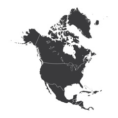
Outline on clean background of the continent of North America
map book concept 2 colored icon. simple line element illustration. outline brown map book symbol. can be used for web and mobile ui/ux.
meeting point concept 2 colored icon. simple line element illustration. outline blue meeting point symbol. can be used for web and mobile ui/ux.
Vector map of the world. Van der Grinten II projection of the world. Purple Orange colored polygons. Trending vector illustration.
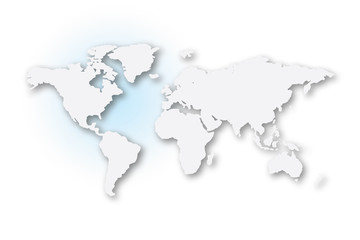
Illustrated map of the world with all continents
Outline on clean background of the continent of Africa
Bhutan map with pin of country capital. Two types of Bhutan map with neighboring countries.
Sri Lanka map with pin of country capital. Two types of Sri Lanka map with neighboring countries.
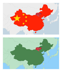
China map with pin of country capital. Two types of China map with neighboring countries.
Outline on clean background of the continent of Africa
EPS10 Vector World Map. Van der Grinten II projection. Plan world geographical map with graticlue lines. Vector illustration.
global cart interface concept 2 colored icon. simple line element illustration. outline blue global cart interface symbol. can be used for web and mobile ui/ux.
Polygonal map of the world. Quartic authalic projection interrupted into two hemispheres of the world. Spectral colored polygons. Beautiful vector illustration.
Outline on clean background of the continent of Asia
Map of The World. Mollweide projection interrupted into two (equal-area) hemispheres. Globe with latitude and longitude lines. World map on meridians and parallels background. Vector illustration.
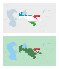
Uzbekistan map with pin of country capital. Two types of Uzbekistan map with neighboring countries.
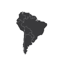
Outline on clean background of the continent of South America
Outline on clean background of the continent of Africa
Israel map with pin of country capital. Two types of Israel map with neighboring countries.
maps and flags concept 2 colored icon. simple line element illustration. outline brown maps and flags symbol. can be used for web and mobile ui/ux.
Indonesia map with pin of country capital. Two types of Indonesia map with neighboring countries.
Outline on clean background of the continent of Europe
Vector map of the world. Mollweide projection interrupted into two hemispheres of the world. Yellow Green Blue colored polygons. Contemporary vector illustration.
Vector world map. Van der Grinten II projection. Plain world geographical map with latitude and longitude lines. Centered to 180deg longitude. Vector illustration.
Low poly world map. Eckert II projection of the world. Red Yellow Blue colored polygons. Energetic vector illustration.
Triangular mesh of the world. Quartic authalic projection interrupted into two hemispheres of the world. Red Yellow Green colored polygons. Amazing vector illustration.
World Map. Van der Grinten II projection. Loopable rotating map of the world. Authentic footage.
set of 16 vector stroke icons such as military strategy, military robot machine, industrial building, notebook, robber on monitor, military transport from army concept. can be used for web, logo,
Illustrated map of the world with all continents
Vector world map. Eckert II projection. Plain world geographical map with latitude and longitude lines. Centered to 60deg W longitude. Vector illustration.
editable thin line icons with infographic template. infographic for signs concept. included pinned, is congruent to, is not a sub, document sheets icons.
World Map. Quartic authalic projection interrupted into two hemispheres. Outline style. High Detail World map for infographics, education, reports, presentations. Vector illustration.
Map of The World. Mollweide projection interrupted into two (equal-area) hemispheres. Futuristic Infographic world illustration. Bright cyan colors on dark background. Cool vector illustration.
Outline on clean background of the continent of North America
two editable outline icons from e commerce and payment concept. thin line icons such as map pointer, merchandise vector.
Vector world map. Quartic authalic projection interrupted into two hemispheres. Plan world geographical map with latitude/longitude lines. Centered to 120deg W longitude. Vector illustration.
Greater London Administrative Map Set - blank counties or boroughs outline
Outline on clean background of the continent of Africa
map and compass orientation tools concept 2 colored icon. simple line element illustration. outline blue map and compass orientation tools symbol. can be used for web and mobile ui/ux.
Maldives map city vector divided by colorful outline simplicity style. Have 2 versions, black thin line version and colorful version. Both map were on the white background.
Polygonal world map. Eckert II projection of the world. Red Purple colored polygons. Elegant vector illustration.
Polygonal world map. Quartic authalic projection interrupted into two hemispheres of the world. Purple Orange colored polygons. Energetic vector illustration.
Latvia map city vector divided by colorful outline simplicity style. Have 2 versions, black thin line version and colorful version. Both map were on the white background.
World map with vibrant triangles. Van der Grinten II projection of the world. Purple Shades colored polygons. Contemporary vector illustration.
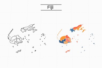
Fiji map city vector divided by colorful outline simplicity style. Have 2 versions, black thin line version and colorful version. Both map were on the white background.
World map in polygonal style. Mollweide projection interrupted into two hemispheres of the world. Red Yellow Green colored polygons. Energetic vector illustration.
Abstract world map. Natural Earth II projection of the world. Red Shades colored polygons. Amazing vector illustration.
Vector world map. Eckert II projection. Plan world geographical map with latitude/longitude lines. Centered to 60deg E longitude. Vector illustration.
Illustrated map of the world with all continents
outline earth globe vector icon. isolated black simple line element illustration from education 2 concept. editable vector stroke earth globe icon on white background
planet grid circular concept 2 colored icon. simple line element illustration. outline blue planet grid circular symbol. can be used for web and mobile ui/ux.
Outline on clean background of the continent of South America
Road map and pin icon in filled, thin line, outline and stroke style. Vector illustration of two colored and black road map and pin vector icons designs can be used for mobile, ui, web
Job transition icon in filled, thin line, outline and stroke style. Vector illustration of two colored and black job transition vector icons designs can be used for mobile, ui, web
Outline on clean background of the continent of Europe
Low poly world map. Eckert II projection of the world. Blue Shades colored polygons. Modern vector illustration.
folded map with position mark concept 2 colored icon. simple line element illustration. outline brown folded map with position mark symbol. can be used for web and mobile ui/ux.
Outline on clean background of the continent of South America
Vector world map. Quartic authalic projection interrupted into two hemispheres. Plain world geographical map with latitude and longitude lines. Centered to 120deg E longitude. Vector illustration.
itinerary icon in different style vector illustration. two colored and black itinerary vector icons designed in filled, outline, line and stroke style can be used for web, mobile, ui
World Map. Mollweide projection interrupted into two (equal-area) hemispheres. Map of the world with meridians on blue background. Vector illustration.
bangladesh icon in 18 different styles such as thin line, thick line, two color, glyph, colorful, lineal color, detailed, stroke and gradient. set of bangladesh vector for web, mobile, ui
Map book icon in filled, thin line, outline and stroke style. Vector illustration of two colored and black map book vector icons designs can be used for mobile, ui, web
Illinois US state bold outline map. Vector illustration
Outline on clean background of the continent of South America


Why Wallsheaven is special?

30 Days on Returns

You can return or replace any product within 30 days without reason.

Free Express Delivery

Delivery is free for all of our products, wherever you are.

Eco Water-Based Inks

Our prints are odorless, ecological, and safe for children with vivid colors from natural dyes.

Simple Installation

Installing WallsHeaven's wallpaper mural is as easy as making paper airplane.

Artist Support

By choosing our photos, you will support the artists from all over the world.