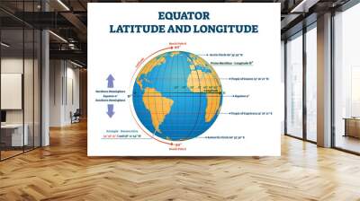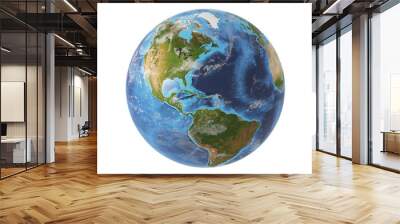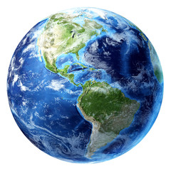


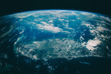
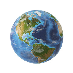


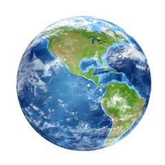


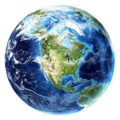


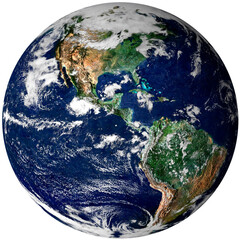


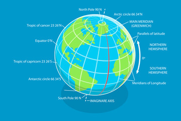


earth equator
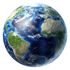
Wall muralglobe planet continent
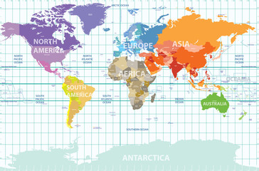
Wall muralgeography map illustration
Wall muralocean sphere blue
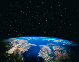
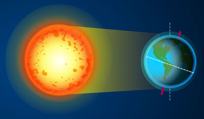
Wall muralspace cartography astronomy
Wall muralisolated orbit north
Wall muralvector nature sea
Wall muralgraphic education three-dimensional
Wall muralearth
Wall muralequator
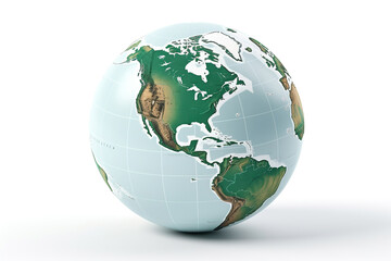
Wall muralglobe
Wall muralplanet
Wall muralcontinent
Wall muralgeography
Wall muralmap
Wall muralillustration
Wall muralocean
Wall muralsphere
Wall muralblue
Wall muralspace
Wall muralcartography
Wall muralastronomy
Wall muralisolated
Wall muralorbit
Wall muralnorth
Wall muralvector
Wall muralnature
Wall muralsea
Wall muralgraphic
Wall muraleducation
Wall muralthree-dimensional
Wall muralcountry
Wall muralline
Wall mural