


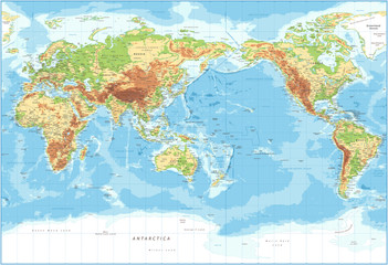


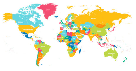


earth illustration
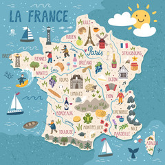
Wall muralgeography travel design
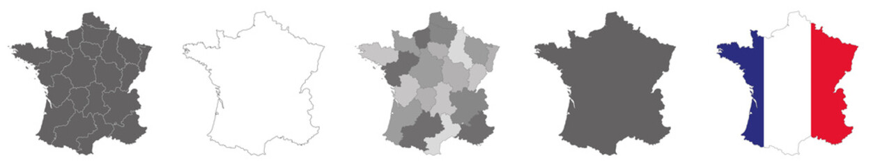
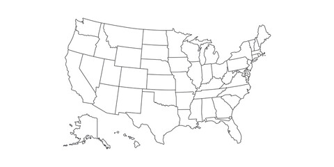
Wall muralvector cartography country
Wall muralgraphic abstract america
Wall muralus europa global
Wall muralwhite globe asia
Wall muralborder australia isolated
Wall muralart africa silhouette
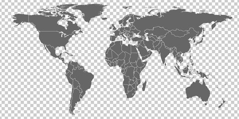
Wall muralearth
Wall muralillustration
Wall muralgeography
Wall muraltravel
Wall muraldesign
Wall muralvector
Wall muralcartography
Wall muralcountry
Wall muralgraphic
Wall muralabstract
Wall muralamerica
Wall muralus
Wall muraleuropa
Wall muralglobal
Wall muralwhite
Wall muralglobe
Wall muralasia
Wall muralborder
Wall muralaustralia
Wall muralisolated
Wall muralart
Wall muralafrica
Wall muralsilhouette
Wall muralmodern
Wall muralicon
Wall mural