


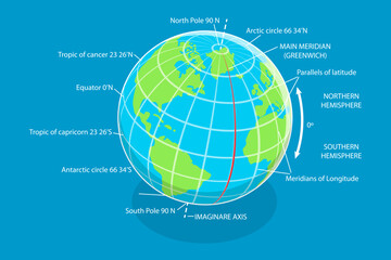


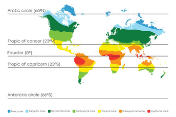


earth equator
Wall muralglobe geography map
Wall muralplanet illustration continent
Wall muralglobal nature cartography
Wall muraltravel latitude blue
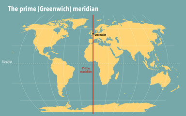
Wall murallongitude america meridian
Wall muralsouth background design
Wall muralscience atlas landscape
Wall muralearth
Wall muralequator
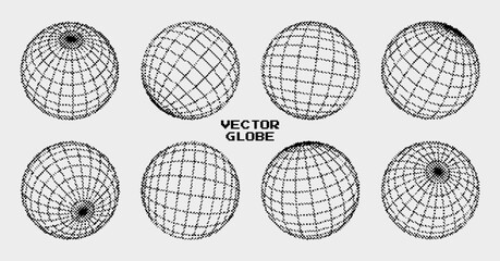
Wall muralglobe
Wall muralgeography
Wall muralmap
Wall muralplanet
Wall muralillustration
Wall muralcontinent
Wall muralglobal
Wall muralnature
Wall muralcartography
Wall muraltravel
Wall murallatitude
Wall muralblue
Wall murallongitude
Wall muralamerica
Wall muralmeridian
Wall muralsouth
Wall muralbackground
Wall muraldesign
Wall muralscience
Wall muralatlas
Wall murallandscape
Wall muralisolated
Wall muralspace
Wall mural