


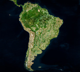


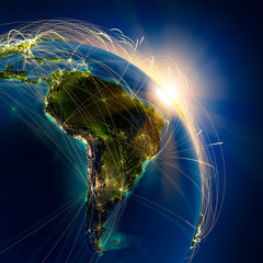

america earth
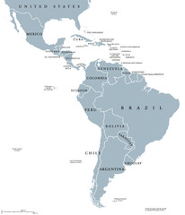
Wall muralsouth south america continent
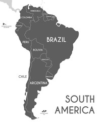
Wall muralcountry brazil geography
Wall muralperu background argentine
Wall muralcity chile colombia
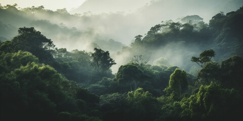
Wall murallandscape tour tourism state
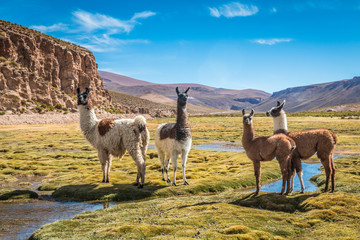
Wall muralmountain nature colourful
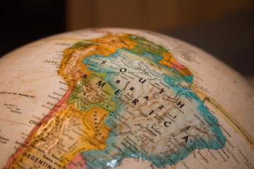
Wall muralglobe landmark destination
Wall muralamerica
Wall muralearth
Wall muralsouth
Wall muralsouth america
Wall muralcontinent
Wall muralcountry
Wall muralbrazil
Wall muralgeography
Wall muralperu
Wall muralbackground
Wall muralargentine
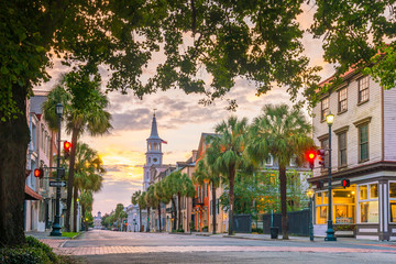
Wall muralcity
Wall muralchile
Wall muralcolombia
Wall murallandscape
Wall muraltour tourism
Wall muralstate
Wall muralmountain
Wall muralnature
Wall muralcolourful
Wall muralglobe
Wall murallandmark
Wall muraldestination
Wall muralconcept
Wall muralland
Wall mural


