


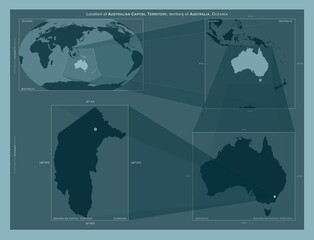


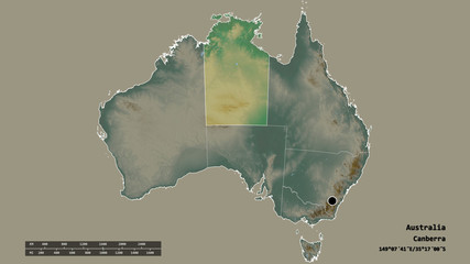


canberra australia
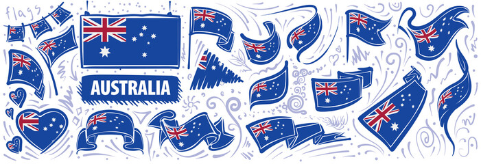
Wall muralflag illustration symbol
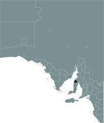
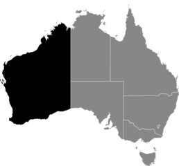
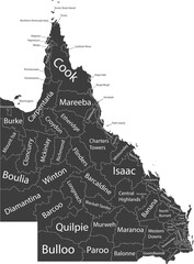
Wall muralvector signs map
Wall muraltravel land city
Wall muralpatriotism outline mountain
Wall muralroad kangaroo voting
Wall muralleaf division country
Wall muralbackground earth government
Wall muralcanberra
Wall muralaustralia
Wall muralflag
Wall muralillustration
Wall muralsymbol
Wall muralvector
Wall muralsigns
Wall muralmap
Wall muraltravel
Wall muralland
Wall muralcity
Wall muralpatriotism
Wall muraloutline
Wall muralmountain
Wall muralroad
Wall muralkangaroo
Wall muralvoting
Wall muralleaf
Wall muraldivision
Wall muralcountry
Wall muralbackground
Wall muralearth
Wall muralgovernment
Wall muralnation
Wall muralnature
Wall mural


