


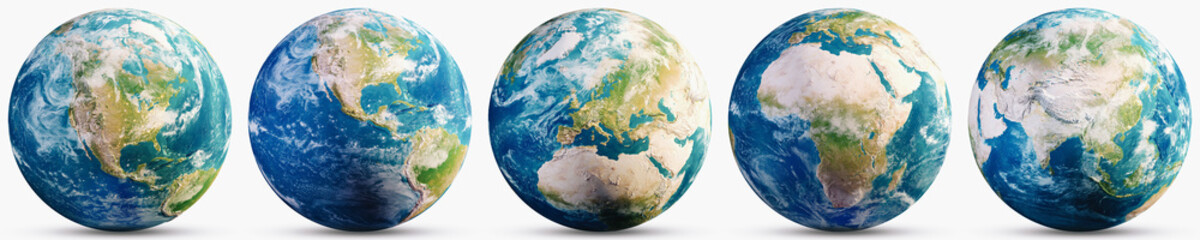


water earth
Wall muralgeography illustration background
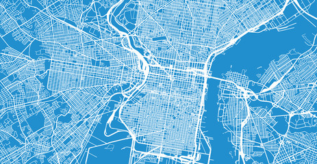
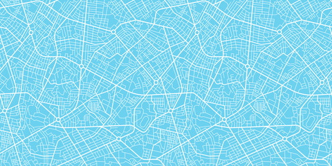
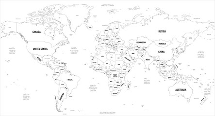
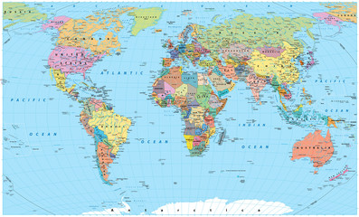
Wall muralcartography travel design
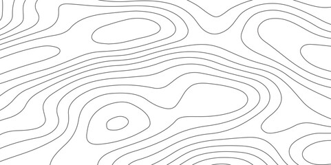
Wall muralabstract land line
Wall muraltopographic graphic relief
Wall muralart texture navigation
Wall muralus nature europa
Wall muralcountry continent america
Wall muralwater
Wall muralearth
Wall muralgeography
Wall muralillustration
Wall muralbackground
Wall muralcartography
Wall muraltravel
Wall muraldesign
Wall muralabstract
Wall muralland
Wall muralline
Wall muraltopographic
Wall muralgraphic
Wall muralrelief
Wall muralart
Wall muraltexture
Wall muralnavigation
Wall muralus
Wall muralnature
Wall muraleuropa
Wall muralcountry
Wall muralcontinent
Wall muralamerica
Wall muralglobal
Wall muralmountain
Wall mural