
WallsHeaven makes decorative wall murals in high quality printing

108,403 Travel Geography United Wall Murals - Canvas Prints - Stickers

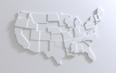
USA Empty 3d Geographic Map Abstract Levels Render
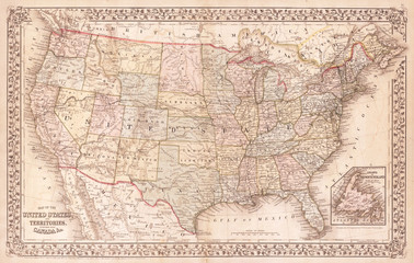
Old Map of the United States, 1867, Mitchell
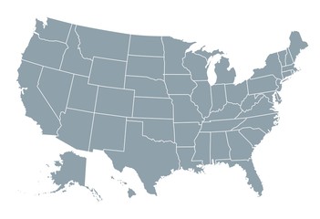
Black silhouette map of United States of America
Vector outline map of Montana state of the United States
US Map Black | USA Border | United States Country | America | Transparent Isolated | Variations
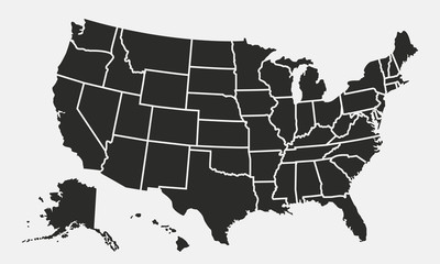
USA states map outline. Country map United States of America. US states borders silhouettes.
United States of America map
Minnesota counties, gray political map. Minnesota, a state in the Upper Midwestern region of the United States, subdivided into 87 counties. Map with boundaries and county names. Illustration. Vector
Location United States. Green pin on the map.
An abstract, vibrant map of the United States featuring varied colors for each state, making each state distinctly recognizable in a modern, artistic layout.
New Hampshire State Flag background illustration
Lower 48 United States
Abstract map of the United States created from dots. Technology and communication network map concept. Vector illustration
A map of Canada with a Canadian flag on it
black thin line usa icon with shadow
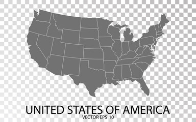
Transparent - High Detailed Grey Map of United States of America. Vector Eps 10.
United States of America map. USA Map With Divided States. Outline US map.
Flint, Michigan, United States map poster art
Long Island Outline Map
USA map land area vector with state names on black background illustration
Continental United States Silhouette Outline Graphic Design with Transparent Background
USA map states. Vector line design. High detailed USA map. Labeled with postal abbreviatations. Stock vector.
Political map of Minnesota state, United States of America
Dotted style map of USA and white background
Typical Surrey suburban street Wonersh on a sunny day
united kingdom map vector in various style outline, blue, red, dotted.
A vector map with all states in separate layers.
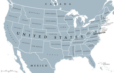
USA United States of America political map with capital Washington, single states, neighbor countries and borders except Hawaii and Alaska. Gray colored illustration with English labeling and scaling.
Map of the United States with red pins marking different locations, indicating network connections.
Editable vector file of the counties that make up the state of California, located in the United States.
"Interconnected hub-and-spoke network map of the United States, featuring major cities, high-speed internet connections, and transportation systems as nodes"
USA map. USA vector icons. American map. United States of America map in flat and lines design. Vector illustration
Detailed global map on a spherical globe, showcasing the geography of continents and oceans, highlighting international travel and environmental science
Vector Illustration United States of America flat design
USA vector map with North Dakota map prominent.
Abstract graphic United Kingdom map from point blue on a white background. Vector illustration.
usa map icon
usa map icon
Georgia Map Black | State Border | United States | US America | Transparent Isolated | Variations
Oxford, United Kingdom artistic blueprint map poster
The North Carolina counties map isolated on white background
Provides a comprehensive visual representation of the United States, highlighting its diverse geography and cultural landmarks.
Usa map icon high detailed isolated vector illustration. Abstract concept graphic element. United States of America with isolated regions.
USA map with gray tone on  white background,illustration,textured , Symbols of USA
USA map with gray tone on white background,illustration,textured , Symbols of USA
united states 3d map with borders Template for your design
Aerial View of Illuminated United States Map at Dusk With Sunset Background
United States map drawn on chalkboard
Map of Maryland state from dots
USA map color line icon. Border of the country. Pictogram for web page, mobile app, promo. UI UX GUI design element. Editable stroke.
Linear map of USA. United States of America concept map. State maps. Vector illustration
Brunei flag design vector illustration on a gray background for graphic and web design.
Abstract USA or United States of America Map with dot Pixel Spot Modern Concept Design Isolated on White background Vector illustration.
Amarillo, Texas: Townscape bathed in Golden Light, showcasing Yellow Tones in American Landscape
Antique pirate world map and new modern compass concept travel around the world with one dollar money of United States of America, vintage vintage
High resolution world map focused on Europe
Aerial shot of city of Pleasanton, California, USA. Modern urban landscape with park, buildings, streets, and tower. Cityscape with beautiful architecture and outdoor spaces.
USA map isolated on blue background. United States of America map. Vector template.
USA map icon, outline style
California Map Black | State Border | United States | US America | Transparent Isolated | Variations
US, U.SA, situation, American report background.
USA Map. Poster map of United States of America. Print of USA with name states, poster or geographic, political theme. Infographic graphic design print map of USA states. Vector Illustration
USA map. vector file
Europe at Night - A Stunning View of City Lights
United States America
Georgia outline map
Georgia outline map
USA map on dark blue background flat illustration
USA map outline vector with state names on black background illustration
United States of America map
miniature man on world map it can use for travelling photo concept
Road map of London in United Kingdom. Contains layered vector with roads water, parks, etc.
This artwork features a vintage-inspired map of the United States, displaying the states in deep blue against a light background, evoking a sense of nostalgia and exploration.
world map of middle east countries, qatar, oman, united arab emirates, bahrain, dubai, abu dhabi, manama, doha in close up
Doodle freehand drawing USA political map with major cities. Vector illustration.
Stylized map of the United States with digital circuitry, symbolizing technology and connectivity in modern geography.
Locations marked with pins on world map, global communication network, closeup
Vintage Travel Essentials on Wooden Surface with a Passport, Camera, and World Map
World map. Continents with the contours of the countries. Vector drawing
Vintage Map of the United States on Crumpled Paper
Wisconsin Map Black | State Border | United States | US America | Transparent Isolated | Variations
Europe map outline. sketch line art map of Europe with countries. border map, Europe continentboundary maps
Man's hand holding US passport. Map background. Ready for traveling. Open world.
Digital US map with glowing connections - An illustrated map of the United States with glowing lines and dots representing connections or networks across the country
Provides a comprehensive visual representation of the United States, highlighting its diverse geography and cultural landmarks.
Map of the united states connected by threads and thumbtacks
Colorful watercolor map of the United States with vibrant states isolated on transparent background
Mosaic of United States Map on black background, USA map, Generative AI
Happy Columbus Day vector illustration featuring a National USA Holiday, Showcasing a Ship and American Flag in a Flat Style Cartoon Design
United States of America map
Sandy, Utah, United States artistic blueprint map poster
USA map states. Vector line design. High detailed USA map. Labeled with postal abbreviatations. Stock vector.
United Kingdom.
United Kingdom.
USA map with states isolated on a white background. United States of America map. Vector illustration
man handing new post Brexit blue British passport Devon, United Kingdom, January, 2021
Gold map of the United States on a blue background, highlighting each state with intricate details and shimmering tones, evoking elegance and patriotism.
Vibrant illustration of the 50 United States, each represented by a unique icon, merged into a stunning collage
Vector illustration vector of Milton Keynes map United Kingdom
Macro image of a Map of America
monument valley
monument valley
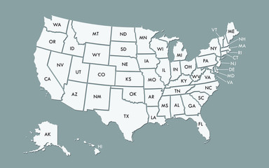
Map of USA with state abbreviations


Why Wallsheaven is special?

30 Days on Returns

You can return or replace any product within 30 days without reason.

Free Express Delivery

Delivery is free for all of our products, wherever you are.

Eco Water-Based Inks

Our prints are odorless, ecological, and safe for children with vivid colors from natural dyes.

Simple Installation

Installing WallsHeaven's wallpaper mural is as easy as making paper airplane.

Artist Support

By choosing our photos, you will support the artists from all over the world.