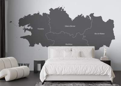


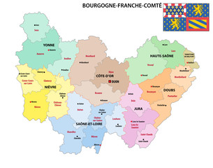

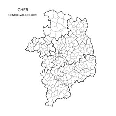


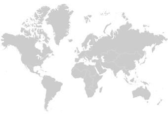


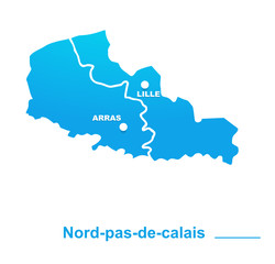


region outline
Wall muralmap border vector
Wall muralcartography geography illustration
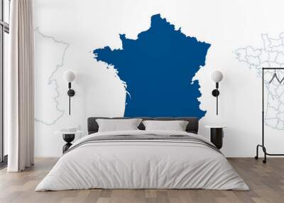
Wall muraladministrative state isolated
Wall muralarea travel division
Wall muralcounty province background
Wall muralnational district territory
Wall muralland europa shape
Wall muralregion
Wall muraloutline
Wall muralmap
Wall muralborder
Wall muralvector
Wall muralcartography
Wall muralgeography
Wall muralillustration
Wall muraladministrative
Wall muralstate
Wall muralisolated
Wall muralarea
Wall muraltravel
Wall muraldivision
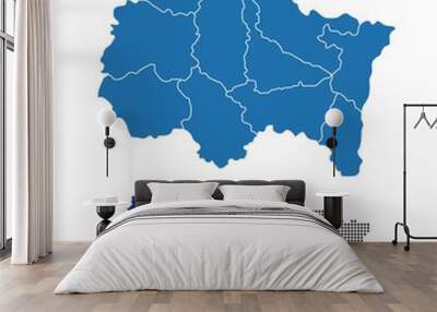
Wall muralcounty
Wall muralprovince
Wall muralbackground
Wall muralnational
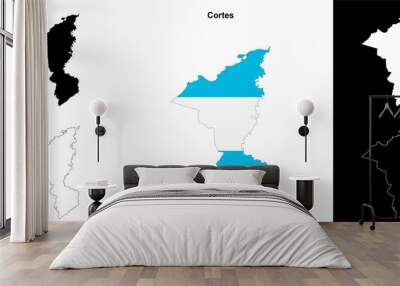
Wall muraldistrict
Wall muralterritory
Wall muralland
Wall muraleuropa
Wall muralshape
Wall muralfrench
Wall muralboundary
Wall mural