


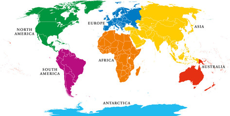


earth continent
Wall muralplanet global globe
Wall muralgeography europa illustration
Wall muralamerica business travel
Wall muralasia background blue
Wall muralaustralia atlas abstract
Wall muralcartography world map land
Wall muralthree-dimensional isolated design
Wall muralearth
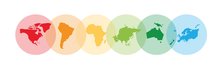
Wall muralcontinent
Wall muralplanet
Wall muralglobal
Wall muralglobe
Wall muralgeography
Wall muraleuropa
Wall muralillustration
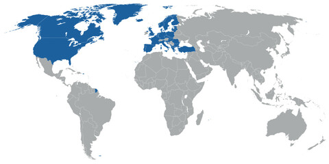
Wall muralamerica
Wall muralbusiness
Wall muraltravel
Wall muralasia
Wall muralbackground
Wall muralblue
Wall muralaustralia
Wall muralatlas
Wall muralabstract
Wall muralcartography
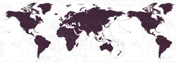
Wall muralworld map
Wall muralland
Wall muralthree-dimensional
Wall muralisolated
Wall muraldesign
Wall muralgraphic
Wall muralnorth
Wall mural


