


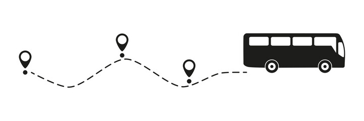


line travel
Wall muralillustration transportation design
Wall muralbackground vector transport
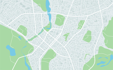
Wall muralroad city graphic
Wall muralstreet urban us
Wall muralwhite symbol earth
Wall muralabstract isolated tour tourism
Wall muralroute highway icon
Wall muralline
Wall muraltravel
Wall muralillustration
Wall muraltransportation
Wall muraldesign
Wall muralbackground
Wall muralvector
Wall muraltransport
Wall muralroad
Wall muralcity
Wall muralgraphic
Wall muralstreet
Wall muralurban
Wall muralus
Wall muralwhite
Wall muralsymbol
Wall muralearth
Wall muralabstract
Wall muralisolated
Wall muraltour tourism
Wall muralroute
Wall muralhighway
Wall muralicon
Wall muralbusiness
Wall muraldistrict
Wall mural


