


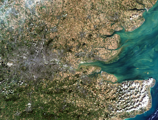


earth map
Wall murallandscape background planet
Wall muralnature geography globe
Wall muraltravel land blue
Wall muralillustration mountain view
Wall muralspace abstract green
Wall muralcountry graphic aerial
Wall muralscience cartography city
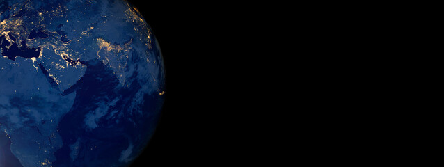
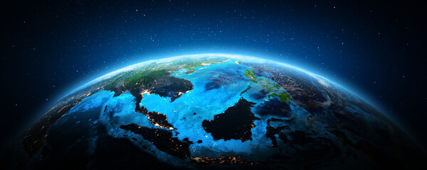
Wall muralearth
Wall muralmap
Wall murallandscape
Wall muralbackground
Wall muralplanet
Wall muralnature
Wall muralgeography
Wall muralglobe
Wall muraltravel
Wall muralland
Wall muralblue
Wall muralillustration
Wall muralmountain
Wall muralview
Wall muralspace
Wall muralabstract
Wall muralgreen
Wall muralcountry
Wall muralgraphic
Wall muralaerial
Wall muralscience
Wall muralcartography
Wall muralcity
Wall muralwater
Wall muraltree
Wall mural


