


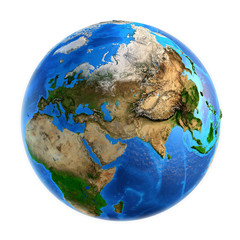


earth map
Wall murallandscape planet geography
Wall muralcontinent globe land
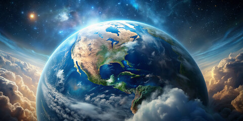
Wall muralglobal ocean view
Wall muralbackground cartography mountain
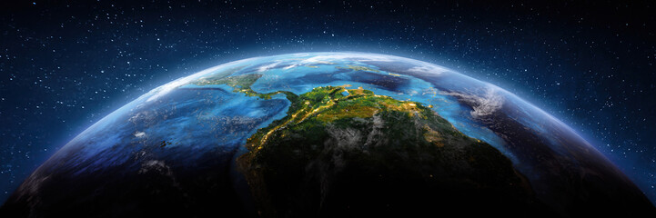
Wall muralspace three-dimensional country
Wall muralsea surface illustration
Wall muraleuropa concept detailed
Wall muralearth
Wall muralmap
Wall murallandscape
Wall muralplanet
Wall muralgeography
Wall muralcontinent
Wall muralglobe
Wall muralland
Wall muralglobal
Wall muralocean
Wall muralview
Wall muralbackground
Wall muralcartography
Wall muralmountain
Wall muralspace
Wall muralthree-dimensional
Wall muralcountry
Wall muralsea
Wall muralsurface
Wall muralillustration
Wall muraleuropa
Wall muralconcept
Wall muraldetailed
Wall muralsphere
Wall muralstar
Wall mural


