WallsHeaven makes decorative wall murals in high quality printing

379,149 Isolated Border State Wall Murals - Canvas Prints - Stickers

Virginia state outline contour silhouette map
High Detailed Vector Map - San Marino
Missouri state isolated on a white background, USA map
Map of Brazil icon Flat fill set collection
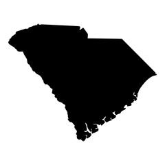
Black solid map of the state of South Carolina
Chiapas state map, administrative division of the country of Mexico. Vector illustration.
Kansas Map Black | State Border | United States | US America | Transparent Isolated | Variations
Flag of Colombia with empty space on the left. Isolated. 3D Rendering
Minnesota counties, gray political map. Minnesota, a state in the Upper Midwestern region of the United States, subdivided into 87 counties. Map with boundaries and county names. Illustration. Vector
Georgia state of USA. Georgia flag and territory. States of America territory on white background. Separate states. Vector illustration
Georgia outline map
Georgia outline map
Spain map municipal, region, state division. Administrative borders, outline black on white background vector.
New york administrative map, New York outline and counties state map set - illustration version
Colorful watercolor butterflies creating a whimsical border with negative space, designed with a generative AI for a beautiful, summer nature theme
California state map of USA country. Geography border of American town. Vector illustration.
USA vector map with North Dakota map prominent.
USA outline map isolated on a transparent or white background. Detailed map of the United States with outlined administrative divisions, vector illustration.
wisconsin map isolated on a transparent background
Florida state map in blue colors (cut out)
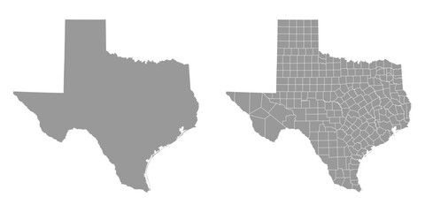
Texas state map. Map of the U.S. state of Texas in grey color.
Kaduna state outline map set
3d Honduras white map with regions isolated
Wisconsin state isolated on a white background, USA map
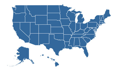
United States of America Blue map including State Boundaries
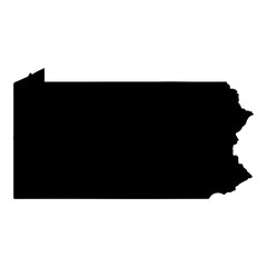
Black solid map of the state of Pennsylvania
Chiapas state map, administrative division of the country of Mexico. Vector illustration.
Wooden timber plank fence with grass isolated on transparent background. Old vintage farm barrier, house or home backyard protection, village ranch security boundary panel
Map of Asia isolated on white background. for website layouts, background, education, precise, customizable, Travel worldwide, map silhouette backdrop, earth geography, political, reports.
Northeast, census region of the United States of America, gray political map of census region 1, consisting of 9 single states. Map with geographical borders and capitals. Isolated illustration.
Collection of Japan country grey political maps set with border outline vector illustration
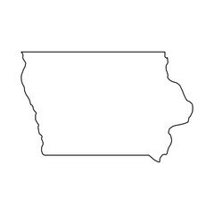
Iowa Outline Map
Iowa Outline Map
California Map with editable stroke icon. California USA State thin line icon, California map vector illustration, California, CA blue silhouette vector map
Europe map outline. sketch line art map of Europe with countries. border map, Europe continentboundary maps
Psychological and mental health concepts. Characters with psychology and mind problems, disorders, anxiety and fear emotions, depression, stress. Flat vector illustrations isolated on white background
California Map Black | State Border | United States | US America | Transparent Isolated | Variations
Wisconsin USA state map shape with flag. Map of Wisconsin in the Wisconsin flag colors. Outline map filled with its flag colors. Vector illustration.
Editable vector file of the counties that make up the state of Maine, located in the United States of America.
arkansas map isolated on a transparent background
Ohio maps vector isolated on a transparent background
Idaho map. Detailed blue outline and silhouette. Administrative divisions and counties. Set of vector maps. All isolated on white background. Template for design and infographics.
Selangor state blank outline map
Atloyna island (Kingdom of Norway) map vector illustration, scribble sketch Atloy map
Florida state isolated on a white background, USA map
New York state map contour. New York state map. Glyph and outline New York map. US state map.
Maryland State Map Silhouette
Indiana Outline
Indiana Outline
Black solid map of the state of Wisconsin
Flag of Moldova with empty space on the left. Isolated. 3D Rendering
Iowa counties, gray political map with borders and county names. Landlocked state in the Midwestern region of the United States, subdivided into 99 counties. Nicknamed The Hawkeye State. Illustration
A blank white rectangular frame with a red border and blue stars on an isolated background with the colors of the American flag Generative AI
Michigan outline map
Portugal map in various style outline, green, red, dotted style
Georgia administrative map, Georgia outline and counties state map set - illustration version
Blank three-dimensional map of Brazil with state borders isolated on transparent background. 3D rendering
Alaska Map Black | State Border | United States | US America | Transparent Isolated | Variations
A contour map of Nicaragua. Vector graphic illustration on a transparent background with black country's borders
Editable vector file of the counties that make up the state of California, located in the United States.
MIDDLE EAST MAP VECTOR FREE
High resolution vector maps of France isolated on transparent background
Outline country state France border outline state
Odisha state blank outline map
Idaho, state of USA map isolated on transparent background
Minnesota state vector outline, contour, silhouette map
Florida map contour. Florida state map. Glyph and outline Florida map. US state map. Sarasota county. Tampa and Miami silhouette.
Map of north america isolated modern colorful style. for website layouts, background, education, precise, customizable, Travel worldwide, map silhouette backdrop, earth geography, political, reports.
alabama state isolated on a transparent background
blue paper edge ripped torn white flat background isolated
State flag of the country Turkey, isolate
SWITZERLAND MAP WITH REGIONS AND ADMINISTRATIVE DIVISIONS WITH FLAG
Michigan state of USA. Michigan flag and territory. States of America territory on white background. Separate states. Vector illustration
Michigan Upper Peninsula Map
usa map icon
usa map icon
Black solid map of the state of North Carolina
black USA map with states isolated on a white background. United States of America map. Vector illustration
Natural wooden window Isolated on white background
Contour map of the state of Iowa, USA. Vector graphic illustration on a transparent background with black region borders
Outline map of the United States of America. 50 States of the USA. US map with state borders. Silhouette of the USA. Vector
Ardeche department map, administrative division of France. Vector illustration.
High resolution Texas map icon set isolated on transparent background. vector illustration
Vermont Outline
Vermont Outline
Montana outline map
Montana outline map
California state map. Map of the US state of California.
Texas State outline contour silhouette map
Washington state map contour. Washington state map. Glyph and outline Washington map. US state map.
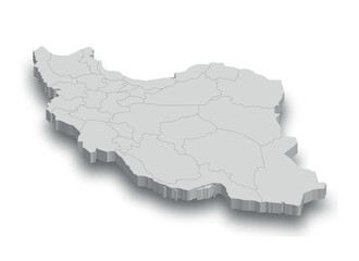
3d Iran white map with regions isolated
illinoise state isolated on a transparent background
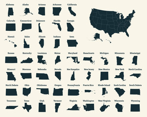
United States of America map. USA Map With Divided States. Outline US map.
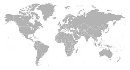
Detailed world map with borders of states. Isolated world map. Isolated on white background. Vector illustration
Howdy cowboy lasso text isolated on white for design. Vector howdy country design
Tennessee administrative map, Tennessee outline and counties state map set - illustration version
Maryland outline map
Kansas state isolated on a white background, USA map
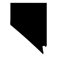
Black solid map of the state of Nevada
High detailed vector map - Florida.
4th of July stars decoration isolated on transparent background
Contour map of the state of Arizona, USA. Vector graphic illustration on a transparent background with black region borders
West Virginia Map Black | State Border | United States | US America | Transparent Isolated | Variations
Texas state gray maps. Vector illustration.


Why Wallsheaven is special?

30 Days on Returns

You can return or replace any product within 30 days without reason.

Free Express Delivery

Delivery is free for all of our products, wherever you are.

Eco Water-Based Inks

Our prints are odorless, ecological, and safe for children with vivid colors from natural dyes.

Simple Installation

Installing WallsHeaven's wallpaper mural is as easy as making paper airplane.

Artist Support

By choosing our photos, you will support the artists from all over the world.