
WallsHeaven makes decorative wall murals in high quality printing

548,704 Illustration+country+outline Wall Murals - Canvas Prints - Stickers

South Dakota Map Black | State Border | United States | US America | Transparent Isolated | Variations
Hispaniola political map, also San Domingo. Haiti and Dominican Republic with capitals Port-au-Prince and Santo Domingo, in the Caribbean island group. Gray illustration with English labeling. Vector.
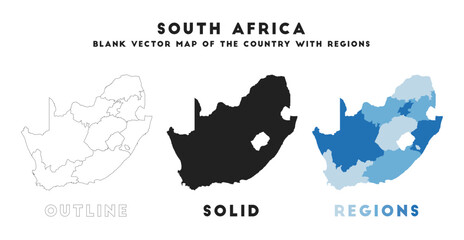
South Africa map. Borders of South Africa for your infographic. Vector country shape. Vector illustration.
Vector illustration with Georgian style mansion, country estate. Historic Building with Hipped-roof Colonial Revival, with third-story dormers. In front of the house - beautiful formal gardens.
Alabama outline state of USA. Map in black and white color options. Vector Illustration..
United states of America country, vector USA map
Maine ME state Maps. Black silhouette and outline isolated on a white background. EPS Vector
black halftone dotted world map illustration vector
the map of the state of Nebraska. vector illustration
Wisconsin State vector map isolated on white background. High detailed silhouette illustration.
Belize country location within North America. 3d map
Scotland map vector, isolated on white background. Black template, flat earth.  Simplified, generalized with round corners.
Scotland map vector, isolated on white background. Black template, flat earth. Simplified, generalized with round corners.
Japan map. Map of Japan in eight main regions in set
USA state Map and map outlines vector illustration, america map line drawings. Ideal for educational materials, travel content, graphic design projects. Detailed, accurately represented shapes
World map with country borders
map of the two north and south koreas
set of 4 political maps of Thailand with regions isolated on white background
Norway black map on white background vector
Map of Ireland.
Map of Ireland.
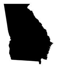
Black vector image of the U.S. state of Georgia.
Vector isolated simplified illustration icon with silhouette of Germany map. National Deutsch flag (black, red, gold colors). White background
Bangladesh map silhouette line country Asia map illustration vector outline Asian isolated on white background
Oregon Map Black | State Border | United States | US America | Transparent Isolated | Variations
Vector illustration with Georgian style mansion, country estate. Historic Building with Hipped-roof Colonial Revival, with third-story dormers. Black and White wedding venue, architecture.
Montenegro outline map
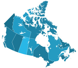
Canada regions map
Canada regions map
Map Of Ohio 3d Shape
Oregon State map in gray on a black background 3d
Latvia outline map with shadow
Ibiza vector map silhouette, high detailed illustration isolated on white background. Spain island territory. Party paradise.
USA map with states isolated on a black background. United States of America blank map template. Vintage US background. Vector illustration
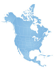
North American continent with contours of countries. Vector drawing
Nevada outline state of USA. Map in black and white color options. Vector Illustration..
Vector map with the flag inside - United States.
Colombia country silhouette. Set of 3 high detailed maps. Solid black silhouette, thick black outline and thin black outline. Vector illustration isolated on white background.
Striped map of Africa
Map of San Luis Potosi, Mexico. Vector
Contour world map black and white colors
The state of Texas is highlighted in orange on the map of the United States. Map of Texas.
Hand Drawn of United State of America 3D Map on White Background.
Map of North America
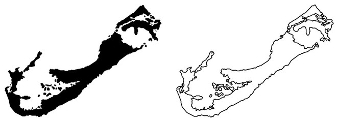
Simple (only sharp corners) map of Bermuda vector drawing. Mercator projection. Filled and outline version.
Michigan state map with doodle decorative ornaments. For printing on souvenirs and T-shirts
Nebraska black map on white background vector
Outline Russia map sketch on white background. Thin hand drawn line contour, country borders. Isolated vector element for banner background design, geographic, travel, russian event illustration.
Set of Serbia map isolated on white background, vector illustration design
Nigeria Map Flag Shape
Romania map in gray on a white background
Suriname Flag and map illustration vector
US state map. Kentucky outline symbol. Vector illustration
Spain Map Black | Spanish Border | State Country | Transparent Isolated | Variations
World political map 3D vector individual states separate
Tanzania map silhouette line country Africa map illustration vector outline African isolated on white background
High detailed vector map - Mexico.
World map with country borders, thin black outline on white background. Simple high detail line vector wireframe.
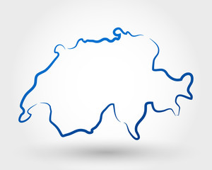
switzerland
switzerland
A gray map of California counties isolated on white background
Kauai County, Hawaii (U.S. county, United States of America, USA, U.S., US, archipelago) map vector illustration, scribble sketch Kauai, Niihau and Lehua island map
political map of Niger isolated on transparent background
Detailed b/w map of Georgia, USA
Map of Ny-York city
Map of Ny-York city
Alabama state map in grey
vector illustration of  tricolor flag France on the map
vector illustration of tricolor flag France on the map
Iowa IA state Maps. Black silhouette and outline isolated on a white background. EPS Vector
Stylized simple outline map of New Zealand icon. Blue sketch map of New Zealand  illustration
Stylized simple outline map of New Zealand icon. Blue sketch map of New Zealand illustration
Iowa state isolated on a white background, USA map
Map Of California 3d Shape
Pakistan map in gray on white background
Map of south korea isolated on Transparent background.
Singapore map country shape vector illustration
Montana Map Black | State Border | United States | US America | Transparent Isolated | Variations
Maine State Map Black. Maine map silhouette isolated on transparent background. Vector Illustration. Variants.
El Salvador map silhouette line country America map illustration vector outline American isolated on white background
High detailed vector map - New Zealand.
Austria country black outline and colored country silhouettes in three different levels of smoothness. Simplified maps. Vector icons isolated on white background.
Europe 3d map with gps pins isolated on white background - Vector
High detailed Texas physical map.
British Isles map vector illustration, scribble sketch British Isles
set of 4 political maps of Peru with regions isolated on white background
Europe black outline map
Vector silhouette of New Jersey with a nickname inscription Garden State. Image for US poster, banner, print, decor, United States of America card. Hand-drawn illustration map of the USA territory
Idaho state map. Map of the U.S. state of Idaho.
The Earth, World Map on white background. Antarctica. Vector illustration
Old Europe coutryside houses, plants and  garden tools. Vector sketch outline hand drawn illustration
Old Europe coutryside houses, plants and garden tools. Vector sketch outline hand drawn illustration
Stylized outline map of Grenada with national flag icon. Flag color map of Grenada  illustration.
Stylized outline map of Grenada with national flag icon. Flag color map of Grenada illustration.
North Carolina map on white background vector
Belgium map in blue on a white background
Map of Maryland State in gray on a white background
Guitar continuous line vector illustration
Black map country of Morocco
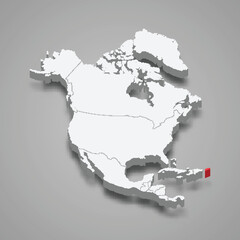
Puerto Rico country location within North America. 3d map
Turkey Map Black | Turkish Border | State Country | Transparent Isolated | Variations
Algeria map silhouette line country Africa map illustration vector outline African isolated on white background
High detailed vector map - England.
Map of Arfica continent. Simple black wireframe outline with national borders on white background. Vector illustration.
Florida, state of USA - solid black silhouette map of country area. Simple flat vector illustration
Vietnam country silhouette. Set of 3 high detailed maps. Solid black silhouette, thick black outline and thin black outline. Vector illustration isolated on white background.
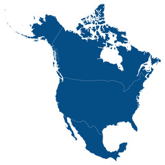
North America country Map. Map of North America in blue color.
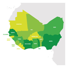
West Africa Region. Map of countries in western Africa. Vector illustration
Pernambuco (Region of Brazil, Federated state, Federative Republic of Brazil) map vector illustration, scribble sketch Pernambuco map


Why Wallsheaven is special?

30 Days on Returns

You can return or replace any product within 30 days without reason.

Free Express Delivery

Delivery is free for all of our products, wherever you are.

Eco Water-Based Inks

Our prints are odorless, ecological, and safe for children with vivid colors from natural dyes.

Simple Installation

Installing WallsHeaven's wallpaper mural is as easy as making paper airplane.

Artist Support

By choosing our photos, you will support the artists from all over the world.