


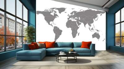
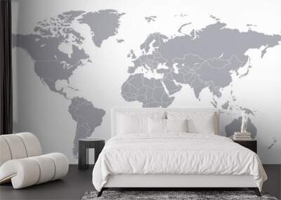
border map
Wall muralgeography earth vector
Wall muralcountry illustration cartography
Wall muraltravel state graphic
Wall muraloutline isolated silhouette
Wall muralland europa nation
Wall muralicon abstract shape
Wall muralsymbol us region
Wall muralborder
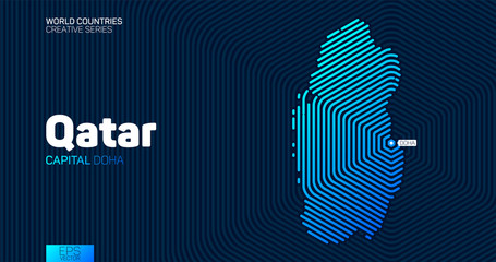
Wall muralmap
Wall muralgeography
Wall muralearth
Wall muralvector
Wall muralcountry
Wall muralillustration
Wall muralcartography
Wall muraltravel
Wall muralstate
Wall muralgraphic
Wall muraloutline
Wall muralisolated
Wall muralsilhouette
Wall muralland
Wall muraleuropa
Wall muralnation
Wall muralicon
Wall muralabstract
Wall muralshape
Wall muralsymbol
Wall muralus
Wall muralregion
Wall muralasia
Wall muralconcept
Wall mural


-luxembourg-map-vector-illustration-map-europe:400:2:yAujiduWD0Z1WdO7CALVXHSSNgKHojNm:896330713:as2.jpg)