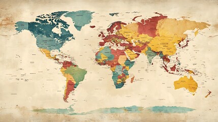
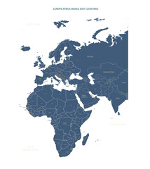
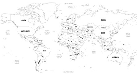
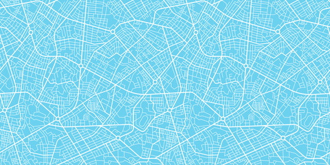
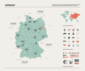
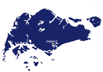
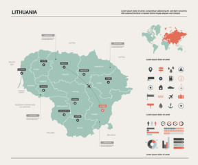
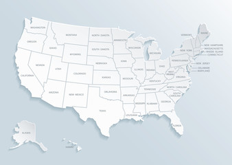
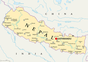
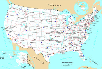
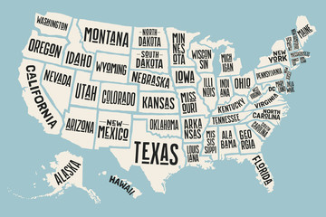
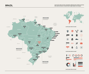
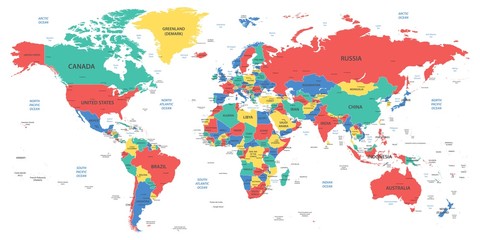
WallsHeaven makes decorative wall murals in high quality printing

448,480 City Country Map Wall Murals - Canvas Prints - Stickers

Administrative and river map of the South American state of Brazil
world map with detailed continents, labeled countries, and major cities in soft pastel colors against a light textured background
Map of New York city
A detailed map of Europe-Africa. Europe-Africa map vector with country and capital name.
World map. High detailed political map of World with country, capital, ocean and sea names labeling
Urban vector city map seamless texture
Hand-Drawn vector illustrated map of Lisbon with famous landmarks, symbols. Custom cute design for journals, posters, books, prints
Planet Earth from space, glowing lights of cities in Europe at night.
Melbourne City map illustration. Map of the city in Australia
Vector map of Germany.  High detailed country map with division, cities and capital Berlin. Political map,  world map, infographic elements.
Find your way. Location marking with a pin on a map with routes. Adventure, discovery, navigation, communication, logistics, geography, transport and travel theme concept background.
USA political map. Color vector map with state borders and capitals.
Abstract city map banner.
Ontario Outline Map
Background city map pattern repeating urban streets, houses and buildings
Detailed world map with borders, countries and cities
map of the Moscow region, map city around Moscow
Map of central Paris.
australia map design vector illustration on white backfround.
Africa outline map with border. Hand drawn illustration vector.
road and national park vector map of the US state of California
Vector isolated illustration. Simplified administrative map of USA (only contiguous states). Names of states and some big and capital american cities. White background and outline of map, grey shapes
Orel city map - town streets on the plan. Map of the scheme of road. Urban environment, architectural background. Vector
World map illustration
Map of United States of America
vector map of the city of Dallas, Texas, USA
World Map Political -  illustration. Highly detailed map of the world: countries, cities, water objects
Сity map New York, color detailed urban road plan, vector illustration
Europe with countries Map grey
India map with borders, cities, capital and administrative divisions. Infographic vector map. Editable layers clearly labeled.
Routes with red pins on a city map. Concept on the  adventure, discovery, navigation, communication, logistics, geography, transport and travel topics.
Ontario in Canada, North America - Map
Political World Map - borders, countries and cities
Urban vector city map of Warsaw, Poland
map of the city of Memphis , Mississippi, USA
an ancient Persian map showing trade routes.
Manila City map illustration. Map of the city in the Philippines
Roads on the map around the state of Pennsylvania, USA, with road numbers, photo taken in Italy, November 2020
A Connected World Map with Glowing Lines and Cities
Vector color detailed map of Italy with administrative divisions of the country, each region is presented separately in-highly detailed and divided into provinces
Map of the Golden Horseshoe metropolitan area around the western end of Lake Ontario, Ontario, Canada
Vector isolated illustration of simplified administrative map of Mexico (United Mexican States). Borders of the provinces (regions). Grey silhouettes. White outline
Samara city map - town streets on the plan. Map of the  scheme of road. Urban environment, architectural background. Vector
India - detailed blue country map with cities and regions. Vector illustration.
Gujarat map with region wise
Blue and White vector city map of Dallas
Guadalajara city map with roads and streets, Mexico. Vector outline illustration.
Set of travel posters with Rome, detailed urban street plan city map, Silhouette city skyline, vector artwork, set 2
Colored world map. Political maps, colourful world countries and country names. Geography politics map, world land atlas or planet cartography vector illustration
United States of America map with location pointer marks. Infographic vector template, isolated on white background.
Antique Vintage Color Map United States of America, USA
New York City Blue map
High detailed Missouri road map with labeling.
Urban vector city map of Benidorm, Spain
map of the city of Utrecht, Netherlands
Detailed map of Berlin - the capital of Germany - Urban borders map. Light stroke version of City poster with streets.
Detailed world map with borders, countries
world map - all layers outlined stars-Colourful Illustration showing country names, State names (USA & Australia), capital cities, major lakes and oceans. Print at no less than 36
USA map with divided States. Vector political map with capital cities in 3D style. Infographic set with United States of America administrative divisions, states and simplified geographical boundaries
Brandenburg, a state in northeastern Germany, political map with capital and largest city Potsdam, borders, and largest cities. Brandenburg surrounds the national capital and city-state of Berlin.
Digital hand-drawn location marked with two pins on a map. Future transport logistics, innovation delivery, map location, route path concept, and AI technology in general practitioners. GPs make a poi
Routes with blue pins on a city map. Concept on the  adventure, discovery, navigation, communication, logistics, geography, transport and travel topics.
Malaysia map vector illustration on white background. Map have all province and mark the capital city of Malaysia.
Russia - detailed blue country map with cities and regions. Vector illustration.
bangkok administrative and political map with flag
United States of America map with short state names. USA map background. US poster. Vector illustration
France map
silhouette map of singapore with capital city
City map - town streets on the plan. Map of the  scheme of road. Urban environment, architectural background. Vector
Vector map of Lithuania. High detailed country map with division, cities and capital Vilnius. Political map,  world map, infographic elements.
Vector infographic of a city map with roads, buildings, and navigation icons. Detailed and easy to read. Illustrator,vector
USA map with names of states and cities
Colorful Pakistan political map with clearly labeled, separated layers. Vector illustration.
Urban vector city map of Kyoto, Japan
map of the city of Baghdad, Iraq
Detailed map of Warsaw - the capital of Poland - Urban borders map. Light stroke version of City poster with streets and Vistula River.
Seamless subtle gray and white abstract city roads plan map vector
Vintage colorful United State of America map with city names. Vector.
political map of United Kingdom isolated on transparent background
Nepal political map with capital Kathmandu, national borders, cities and rivers. Federal democratic republic and landlocked country in South Asia, bordered to China and India. English labeling.
Vector detailed world map with time zones and countries
New York and Manhattan urban city vector map
Vector Illustration of Canada map animal flat design
USA general map
administrative and political road map of the Atlanta metropolitan area ​​georgia
United States of America map with names of states and cities and infographic of provinces, political maps of United States of America - Vector File
Poster map of United States of America with state names. Print map of USA for t-shirt, poster or geographic themes. Hand-drawn colorful map with states. Vector Illustration
World map grey and white with cities and countries Vector illustration
Rotterdam city map with roads and streets, Netherlands. Vector outline illustration.
Vector map of Brazil.  High detailed country map with division, cities and capital Brasilia. Political map,  world map, infographic elements.
Doodle freehand drawing USA political map with major cities. Vector illustration.
World Map - Political - Vector Detailed Illustration
USA tourist map with famous landmarks and state names.
Kolkata india city map set vector illustration design isolated on white background. Concept of travel and geography.
map of the city of Riyadh, Saudi Arabia
map of Madhya Pradesh is a state of India with districts
Detailed, vector, blue map of Czech Republic with administrative divisions into regions country
New York black map on white background vector


Why Wallsheaven is special?

30 Days on Returns

You can return or replace any product within 30 days without reason.

Free Express Delivery

Delivery is free for all of our products, wherever you are.

Eco Water-Based Inks

Our prints are odorless, ecological, and safe for children with vivid colors from natural dyes.

Simple Installation

Installing WallsHeaven's wallpaper mural is as easy as making paper airplane.

Artist Support

By choosing our photos, you will support the artists from all over the world.